
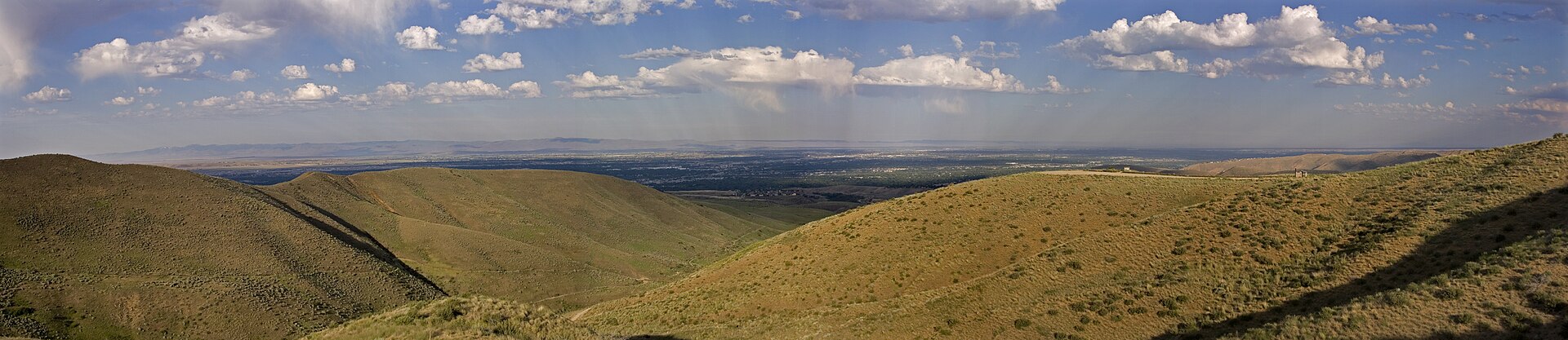
We start every Boise-area septic call with the address. One home may pay a City sewer bill, the next may have an older gravity tank and field, and a third may use a pump chamber because its field sits uphill. The ZIP code alone cannot tell us which truck or service the job needs.
First, make sure the house uses septic
Boise’s urban core uses municipal wastewater. Septic demand is concentrated at older edges, parts of the area of impact, and rural communities beyond the network. The City’s live sewer-availability dataset is helpful for orientation, but its own notice says the layer is a general boundary and cannot identify every septic parcel inside it.
Check the utility bill, then look for the Central District Health permit, tank capacity, field location, design flow, and as-built drawing. CDH’s online search reaches back to 1971, with gaps in some pre-2000 Ada County files. If the street address produces nothing, search by legal description or request the file. A blank result does not prove the system was never permitted.
The soil changes from one lot to the next
Treasure Valley ground includes sand and gravel mixed with beds of sand, silt, claystone, and mudstone. Irrigation also adds water to the groundwater system. We do not call a whole neighborhood “good sand” or “hardpan” without opening the test holes.
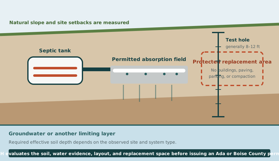
Idaho uses observed soil texture and limiting conditions. The current rule identifies claypan, duripan, hardpan, organic soils, some coarse materials, and high shrink-swell clay as unsuitable for standard treatment. A standard drainfield also needs adequate effective depth above groundwater, impermeable material, or another limiting layer. The required depth varies with the soil group and system, so one blanket Boise number would be misleading.
Irrigation can stretch the permit schedule
A dry summer hole may miss the highest water level the field must handle. CDH can require weekly readings from February 15 through June 30. Irrigated properties may need monitoring from April 15 through October 31.
CDH’s 2026 drought notice says abnormally low groundwater readings may need to be repeated in a year that better represents normal conditions. If you are buying land or planning a build, ask the assigned Environmental Health Specialist what readings remain before setting a construction date.
Slope and the reserve field take real space
Idaho limits a standard absorption system to natural slopes of 20% or less. Foothill cuts, fills, rock, scarps, wells, watercourses, buildings, roads, and property lines can remove additional area. The plot plan must also preserve a complete second field.
Do not treat the reserve as leftover lawn. Parking, a shop, a pool, paving, deep landscaping, and vehicle traffic can compact or occupy it. If the first field fails, protected replacement soil may keep the repair much simpler.
Mountain roads change the pump-out
Boise County’s adopted plan says individual wells and septic fields are typical in unincorporated areas. It also identifies municipal treatment in the Horseshoe Bend and Idaho City cores and a limited district in Garden Valley. The correct service market lies outside those connected areas.
Before we send a truck into the mountains, tell us the road width, surface, grade, bridge limits, overhead clearance, turnaround, and firm parking. Snow can hide tank covers and soft shoulders. A pickup reaching the house does not mean a loaded vacuum truck can follow safely.
We set the pump interval from the tank
Idaho DEQ calls three to five years a common interval, but its technical guidance tells pumpers to measure the scum and sludge. Household count, tank capacity, seasonal use, a garbage disposal, and the quality of the last cleaning all change how fast storage fills.
A useful service ticket records the removed volume, layer depths, baffle condition, and visible tank damage. Keep it with the permit drawing. On the next call, that record is more informative than “it has been a few years.”
What to check before you call
- Confirm sewer connection and the responsible utility.
- Retrieve the health-district permit, as-built drawing, and pump history.
- Compare the drawing with buildings, wells, paving, slope, irrigation, and access today.
- Describe whether one fixture or the whole building is affected.
- Leave the tank closed and avoid disturbing the field before the service visit.
These details do not replace an onsite inspection, but they help us send the right service and preserve useful tank conditions before pumping. Call (208) 297-2198 with the address and what the system is doing.